FlySight returns to HAI Heli Expo in Anaheim, CA, Showcasing Innovation and Strengthening Global Connections

Jan 24, 2024

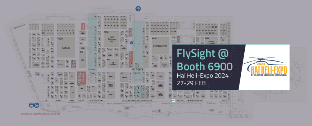
FlySight is gearing up for a significant presence at the Hai Heli-Expo 2024, where it will showcase its innovations at Booth 6900 in Anaheim, CA. This marks the company’s second consecutive year participating in this prominent event organized by the Helicopter Association International, reaffirming FlySight’s commitment to the global helicopter community.

The anticipation is high for FlySight’s CEO, Andrea Masini, and the Head of Engineering, Mattia Carpin, as they embark on a journey spanning the globe from the Singapore Airshow to Heli Expo. This transition reflects FlySight’s dedication to engaging with the international airborne community and staying at the forefront of technological advancements in the helicopter industry.

For FlySight, Heli-Expo serves as a platform to showcase its cutting-edge solutions and connect with industry leaders, helicopter enthusiasts, and professionals from around the world. The booth, located at 6900, will feature the latest developments with three demonstration display boxes, including the much-anticipated OPENSIGHT-Mission Console OpenCode, a multidomain, multiplatform, and opencode solution that exemplifies FlySight’s commitment to pushing the boundaries of innovation in avionic, land, maritime, and space fields.

For the occasion, we announce the collaboration with Viewpoint Systems, LLC.

The successful OPENSIGHT’s integration into MANTIS rugged computer. Read more about the integration which will be shown at HAI HELI-EXPO.

Meet with our team at Hai Heli-Expo, Feb. 26-29, Anaheim Convention Center, Los Angeles CA, USA 
🎯​#FLYSIGHT at Booth 6900 
​🎯#VIEWPOINT SYSTEMS at Booth 7829

The expo provides a unique opportunity for FlySight to demonstrate the versatility and effectiveness of its solutions in the avionic community. Beyond the display of technology, it is a chance for the company to strengthen existing partnerships, forge new collaborations, and contribute to the ongoing dialogue that shapes the future of helicopter technology.

Participating in the HAI Heli-Expo is always a pleasure, and the FlySight team is excited to reunite with the airborne community, fostering connections that transcend geographical boundaries. As FlySight continues to make strides in the aerospace industry, the HAI Heli-Expo serves as a pivotal moment to showcase its commitment to innovation and collaboration on a global scale.

Discover if OPENSIGHT can meet your needs

Contact us now to have more information on a specific product.
We’ll get back as soon as we can.

Want to be always

up to date?

[/et_pb_column]
[/et_pb_row]
[/et_pb_column]

FlySight is proud to announce the official release of MAP CREATOR, a cutting-edge software tool developed to radically simplify and accelerate the preparation of map datasets for real-time 3D visualization.

Designed as a core component of the OPENSIGHT platform, MAP CREATOR allows users to transform raster, elevation, and vector data into optimized MBTILES — a standard format for tiled offline maps — with just a few clicks.

MAP CREATOR boasts a modern, intuitive Graphical User Interface (GUI) that eliminates the need for command-line skills or programming knowledge. Users can upload individual files or entire folders, preview content, apply smart styling rules, and generate ready-to-use map packages in record time. The tool supports a wide variety of geospatial formats, including TIFF, JPG, PNG, ECW, DTED (DT0, DT1, DT2), and shapefiles (.shp), ensuring flexibility across both commercial and defense applications.

What truly sets MAP CREATOR apart is its deep integration with OPENSIGHT Mission Console, making it not just a pre-processing tool but a strategic asset for mission planning and real-time operations.

Avionic Operators can now generate, preview, and load custom maps directly into the console environment — enhancing situational awareness and reducing reliance on external processing tools.

Among its standout features are:

⚙️ Smart vector styling with attribute-driven rules

⚙️ Support for terrain-aware vector rendering using elevation sources

⚙️ 3D extrusion and label rendering for intuitive map outputs

⚙️ High-performance raster and elevation tiling with multiprocessing support

⚙️ Advanced MBTILES merging to build seamless base layers and overlays

MAP CREATOR represents a major step forward in geospatial usability,” said Mattia Carpin, Head of Engineering at FlySight. “It combines the technical power of our SDK with the simplicity and visual control today’s users expect.

MAP CREATOR is now available as part of the latest OPENSIGHT SDK and with OPENSIGHT Mission Console. For demos, licensing, or partnership inquiries, contact FlySight’s commercial team.

FlySight team constantly develops cutting-edge solutions to provide real-time support in defence and security operations decision making.

Subscribe to our newsletter to be always updated with our latest innovations!

[/et_pb_section][/et_pb_column]
[/et_pb_row]
[/et_pb_column]

FlySight is proud to announce the official release of MAP CREATOR, a cutting-edge software tool developed to radically simplify and accelerate the preparation of map datasets for real-time 3D visualization.

Designed as a core component of the OPENSIGHT platform, MAP CREATOR allows users to transform raster, elevation, and vector data into optimized MBTILES — a standard format for tiled offline maps — with just a few clicks.

MAP CREATOR boasts a modern, intuitive Graphical User Interface (GUI) that eliminates the need for command-line skills or programming knowledge. Users can upload individual files or entire folders, preview content, apply smart styling rules, and generate ready-to-use map packages in record time. The tool supports a wide variety of geospatial formats, including TIFF, JPG, PNG, ECW, DTED (DT0, DT1, DT2), and shapefiles (.shp), ensuring flexibility across both commercial and defense applications.

What truly sets MAP CREATOR apart is its deep integration with OPENSIGHT Mission Console, making it not just a pre-processing tool but a strategic asset for mission planning and real-time operations.

Avionic Operators can now generate, preview, and load custom maps directly into the console environment — enhancing situational awareness and reducing reliance on external processing tools.

Among its standout features are:

⚙️ Smart vector styling with attribute-driven rules

⚙️ Support for terrain-aware vector rendering using elevation sources

⚙️ 3D extrusion and label rendering for intuitive map outputs

⚙️ High-performance raster and elevation tiling with multiprocessing support

⚙️ Advanced MBTILES merging to build seamless base layers and overlays

MAP CREATOR represents a major step forward in geospatial usability,” said Mattia Carpin, Head of Engineering at FlySight. “It combines the technical power of our SDK with the simplicity and visual control today’s users expect.

MAP CREATOR is now available as part of the latest OPENSIGHT SDK and with OPENSIGHT Mission Console. For demos, licensing, or partnership inquiries, contact FlySight’s commercial team.

FlySight team constantly develops cutting-edge solutions to provide real-time support in defence and security operations decision making.

Subscribe to our newsletter to be always updated with our latest innovations!

[/et_pb_section]