FlySight appoints Andrea Masini as new CEO

Jul 3, 2023

FlySight is pleased to announce the appointment of Andrea Masini as its new Chief Executive Officer (CEO).

With headquarters in Livorno, Italy, the Flyby Group has gained recognition for its advanced software solutions in decision support across three key business areas:  

  • Defence & Security
  • Energy
  • Health

FlySight, as a controlled company within the Flyby Group, was founded in 2020, combining years of expertise in remote sensing and data analysis within the defence and security field.

Pioneering Solutions for Real-Time Situational Awareness

FlySight is rapidly making its mark on the international market by offering cutting-edge software solutions that enhance real-time situational awareness, mission planning, and debriefing in various scenarios, including land, avionics, naval, and underwater environments. The company serves as a trusted supplier to numerous international Defence & Security organizations and actively participates in research programs within the European defence landscape.

FlySight’s new CEO, Andrea Masini

Andrea Masini, an accomplished professional with a background in academic research, joined the Flyby Group 18 years ago when it was a small enterprise consisting of only five employees. Since then, Flyby has transformed into a multinational holding company, with FlySight being one of its controlled companies. Andrea has played a crucial role in the growth of FlySight, nurturing innovative ideas, fostering a highly skilled and motivated team of engineers and data scientists, and driving the technical and operational aspects of the business.

Andrea Masini will succeed Dr Emilio Simeone, Flyby’s visionary leader, as the CEO of FlySight while Dr Simeone will continue to serve FlySight as Chairman of the Company.

Dr Simeone shares his thoughts on Andrea’s appointment, stating, “Andrea’s extensive expertise in the Defence and Security sector, along with his exceptional strategic and leadership capabilities, have been invaluable to Flyby. Under his guidance, FlySight has experienced remarkable growth, demonstrating clarity, structure, concentration, and a strong sense of teamwork. Andrea’s unique combination of skills,  experience and vision will guide the Company through its next level maturity and positioning on the global market“.

Expressing his commitment to the company’s future, Andrea Masini states, “I am dedicated to ensuring the continuity and solid growth of the path that we have followed from the beginning. I fully understand the importance of delivering complex and innovative solutions to meet the evolving needs of our sector. I have complete confidence in the exceptional talents and strengths of the individuals I work with. Together, we will build upon our solid foundation to embrace an exciting future, capturing growth opportunities and delivering added value to our valued customers.

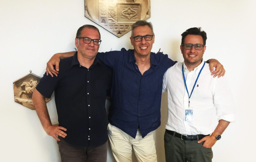
Ciro Lanzetta (FlySight member of the board), Emilio Simeone (Chairman of FlySight), Andrea Masini (CEO of FlySight).

Discover if OPENSIGHT can meet your needs

Contact us now to have more information on a specific product.
We’ll get back as soon as we can.

Want to be always

up to date?

[/et_pb_column]
[/et_pb_row]
[/et_pb_column]

FlySight is proud to announce the official release of MAP CREATOR, a cutting-edge software tool developed to radically simplify and accelerate the preparation of map datasets for real-time 3D visualization.

Designed as a core component of the OPENSIGHT platform, MAP CREATOR allows users to transform raster, elevation, and vector data into optimized MBTILES — a standard format for tiled offline maps — with just a few clicks.

MAP CREATOR boasts a modern, intuitive Graphical User Interface (GUI) that eliminates the need for command-line skills or programming knowledge. Users can upload individual files or entire folders, preview content, apply smart styling rules, and generate ready-to-use map packages in record time. The tool supports a wide variety of geospatial formats, including TIFF, JPG, PNG, ECW, DTED (DT0, DT1, DT2), and shapefiles (.shp), ensuring flexibility across both commercial and defense applications.

What truly sets MAP CREATOR apart is its deep integration with OPENSIGHT Mission Console, making it not just a pre-processing tool but a strategic asset for mission planning and real-time operations.

Avionic Operators can now generate, preview, and load custom maps directly into the console environment — enhancing situational awareness and reducing reliance on external processing tools.

Among its standout features are:

⚙️ Smart vector styling with attribute-driven rules

⚙️ Support for terrain-aware vector rendering using elevation sources

⚙️ 3D extrusion and label rendering for intuitive map outputs

⚙️ High-performance raster and elevation tiling with multiprocessing support

⚙️ Advanced MBTILES merging to build seamless base layers and overlays

MAP CREATOR represents a major step forward in geospatial usability,” said Mattia Carpin, Head of Engineering at FlySight. “It combines the technical power of our SDK with the simplicity and visual control today’s users expect.

MAP CREATOR is now available as part of the latest OPENSIGHT SDK and with OPENSIGHT Mission Console. For demos, licensing, or partnership inquiries, contact FlySight’s commercial team.

FlySight team constantly develops cutting-edge solutions to provide real-time support in defence and security operations decision making.

Subscribe to our newsletter to be always updated with our latest innovations!

[/et_pb_section][/et_pb_column]
[/et_pb_row]
[/et_pb_column]

FlySight is proud to announce the official release of MAP CREATOR, a cutting-edge software tool developed to radically simplify and accelerate the preparation of map datasets for real-time 3D visualization.

Designed as a core component of the OPENSIGHT platform, MAP CREATOR allows users to transform raster, elevation, and vector data into optimized MBTILES — a standard format for tiled offline maps — with just a few clicks.

MAP CREATOR boasts a modern, intuitive Graphical User Interface (GUI) that eliminates the need for command-line skills or programming knowledge. Users can upload individual files or entire folders, preview content, apply smart styling rules, and generate ready-to-use map packages in record time. The tool supports a wide variety of geospatial formats, including TIFF, JPG, PNG, ECW, DTED (DT0, DT1, DT2), and shapefiles (.shp), ensuring flexibility across both commercial and defense applications.

What truly sets MAP CREATOR apart is its deep integration with OPENSIGHT Mission Console, making it not just a pre-processing tool but a strategic asset for mission planning and real-time operations.

Avionic Operators can now generate, preview, and load custom maps directly into the console environment — enhancing situational awareness and reducing reliance on external processing tools.

Among its standout features are:

⚙️ Smart vector styling with attribute-driven rules

⚙️ Support for terrain-aware vector rendering using elevation sources

⚙️ 3D extrusion and label rendering for intuitive map outputs

⚙️ High-performance raster and elevation tiling with multiprocessing support

⚙️ Advanced MBTILES merging to build seamless base layers and overlays

MAP CREATOR represents a major step forward in geospatial usability,” said Mattia Carpin, Head of Engineering at FlySight. “It combines the technical power of our SDK with the simplicity and visual control today’s users expect.

MAP CREATOR is now available as part of the latest OPENSIGHT SDK and with OPENSIGHT Mission Console. For demos, licensing, or partnership inquiries, contact FlySight’s commercial team.

FlySight team constantly develops cutting-edge solutions to provide real-time support in defence and security operations decision making.

Subscribe to our newsletter to be always updated with our latest innovations!

[/et_pb_section]