PAvCon and ASOG 2024 Spring Training Week | FlySight Course

Apr 17, 2024

FlySight Announces Sponsorship and Participation in PAvCon and ASOG Spring Training Week – Course for Airborne Sensor Operators and Technicians.

FlySight is glad to announce its continued partnership and sponsorship at the upcoming Police Aviation Conference (PAvCon) Europe event. This European avionic law enforcement pivotal gathering, set to take place in Wiener Neustadt, Austria, at Airborne Technologies, will see us not only participating as sponsors but also showcasing a series of cutting-edge integrations poised to empower the industry.

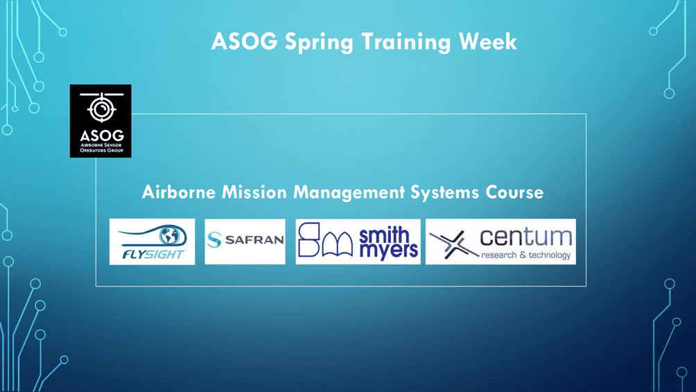
But our engagement doesn’t end with PAvCon. FlySight is extending its commitment to advancing the skills of airborne sensor operators, specialists, technicians, and supervisors by sponsoring the Airborne Mission Management Systems Course as part of the ASOG (Airborne Sensor Operators Group) Spring Training Week.

Airborne Mission management Systems Course – Scheduled for the last days of May (May, 30-31), this initiative underscores our dedication to fostering proficiency in aerial work aviation operations across public safety, defense, and civil sectors.

A Deep Dive into OPENSIGHT and Partner Technologies

At the heart of our session-training is OPENSIGHT, the multi-domain and multi-platform PED (processing, exploitation, and dissemination) system developed by the FlySight team. This Mission Console System is engineered to amplify decision-making in avionics missions through an augmented reality (AR) setting, enhancing situational awareness on tactical displays.

Participants of the ASOG Spring Training Week will have the unique opportunity to immerse themselves in the functionalities of OPENSIGHT. The course will also spotlight contributions from our esteemed partners, including SAFRAN Electronics & Defense with their Euroflir 410, CENTUM research & technology with Lifeseeker, and Smith Myers with ARTEMIS.

This collaboration facilitates a comprehensive learning experience, covering intelligence, protection, and optimization of search and rescue (SAR) missions.

Partnership Highlights of the Course

Our participation in PAvCon and sponsorship of the ASOG training course are a commitment to excellence, these partecipations are more than just events on the calendar: they represent FlySight’s unwavering commitment to enhancing the capabilities and safety of those engaged in critical aerial work. By bringing together top-tier partners and technologies, we aim to elevate the standards of aerial mission management and contribute to the development of a highly skilled workforce ready to tackle the challenges of tomorrow.

JOIN US

For those interested in joining us for this transformative experience, we encourage you to sign up and find more information by filling out the form on the ASOG Group website.

–> Click here to register and learn more!

Enabling Augmented Reality for your airborne missions

Discover if OPENSIGHT can meet your needs

Contact us now to have more information on a specific product.
We’ll get back as soon as we can.

Want to be always

up to date?

[/et_pb_column]
[/et_pb_row]
[/et_pb_column]

FlySight is proud to announce the official release of MAP CREATOR, a cutting-edge software tool developed to radically simplify and accelerate the preparation of map datasets for real-time 3D visualization.

Designed as a core component of the OPENSIGHT platform, MAP CREATOR allows users to transform raster, elevation, and vector data into optimized MBTILES — a standard format for tiled offline maps — with just a few clicks.

MAP CREATOR boasts a modern, intuitive Graphical User Interface (GUI) that eliminates the need for command-line skills or programming knowledge. Users can upload individual files or entire folders, preview content, apply smart styling rules, and generate ready-to-use map packages in record time. The tool supports a wide variety of geospatial formats, including TIFF, JPG, PNG, ECW, DTED (DT0, DT1, DT2), and shapefiles (.shp), ensuring flexibility across both commercial and defense applications.

What truly sets MAP CREATOR apart is its deep integration with OPENSIGHT Mission Console, making it not just a pre-processing tool but a strategic asset for mission planning and real-time operations.

Avionic Operators can now generate, preview, and load custom maps directly into the console environment — enhancing situational awareness and reducing reliance on external processing tools.

Among its standout features are:

⚙️ Smart vector styling with attribute-driven rules

⚙️ Support for terrain-aware vector rendering using elevation sources

⚙️ 3D extrusion and label rendering for intuitive map outputs

⚙️ High-performance raster and elevation tiling with multiprocessing support

⚙️ Advanced MBTILES merging to build seamless base layers and overlays

MAP CREATOR represents a major step forward in geospatial usability,” said Mattia Carpin, Head of Engineering at FlySight. “It combines the technical power of our SDK with the simplicity and visual control today’s users expect.

MAP CREATOR is now available as part of the latest OPENSIGHT SDK and with OPENSIGHT Mission Console. For demos, licensing, or partnership inquiries, contact FlySight’s commercial team.

FlySight team constantly develops cutting-edge solutions to provide real-time support in defence and security operations decision making.

Subscribe to our newsletter to be always updated with our latest innovations!

[/et_pb_section][/et_pb_column]
[/et_pb_row]
[/et_pb_column]

FlySight is proud to announce the official release of MAP CREATOR, a cutting-edge software tool developed to radically simplify and accelerate the preparation of map datasets for real-time 3D visualization.

Designed as a core component of the OPENSIGHT platform, MAP CREATOR allows users to transform raster, elevation, and vector data into optimized MBTILES — a standard format for tiled offline maps — with just a few clicks.

MAP CREATOR boasts a modern, intuitive Graphical User Interface (GUI) that eliminates the need for command-line skills or programming knowledge. Users can upload individual files or entire folders, preview content, apply smart styling rules, and generate ready-to-use map packages in record time. The tool supports a wide variety of geospatial formats, including TIFF, JPG, PNG, ECW, DTED (DT0, DT1, DT2), and shapefiles (.shp), ensuring flexibility across both commercial and defense applications.

What truly sets MAP CREATOR apart is its deep integration with OPENSIGHT Mission Console, making it not just a pre-processing tool but a strategic asset for mission planning and real-time operations.

Avionic Operators can now generate, preview, and load custom maps directly into the console environment — enhancing situational awareness and reducing reliance on external processing tools.

Among its standout features are:

⚙️ Smart vector styling with attribute-driven rules

⚙️ Support for terrain-aware vector rendering using elevation sources

⚙️ 3D extrusion and label rendering for intuitive map outputs

⚙️ High-performance raster and elevation tiling with multiprocessing support

⚙️ Advanced MBTILES merging to build seamless base layers and overlays

MAP CREATOR represents a major step forward in geospatial usability,” said Mattia Carpin, Head of Engineering at FlySight. “It combines the technical power of our SDK with the simplicity and visual control today’s users expect.

MAP CREATOR is now available as part of the latest OPENSIGHT SDK and with OPENSIGHT Mission Console. For demos, licensing, or partnership inquiries, contact FlySight’s commercial team.

FlySight team constantly develops cutting-edge solutions to provide real-time support in defence and security operations decision making.

Subscribe to our newsletter to be always updated with our latest innovations!

[/et_pb_section]