Augmented Reality (AR)
Augmented reality (AR) integrates real-time data with 3D visualizations to provide users with an enhanced understanding of their operational landscape.
How Does It Work?
Augmented Reality operates through a sophisticated process of data integration and visualization. At its core, the system continuously collects information from a variety of operational functions and sensors. This data forms the foundation of the augmented reality experience.
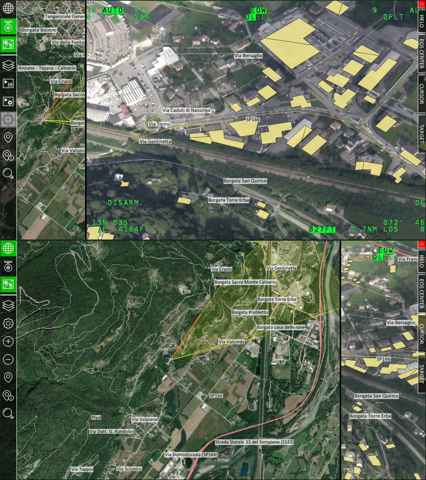
As information streams in, AR employs advanced algorithms to generate a detailed three-dimensional map of the operational area. This map isn’t static; it’s a dynamic representation that updates in real-time, reflecting changes in the environment as they occur. The system then takes this 3D map and overlays it with additional layers of information, creating a rich, multidimensional view of the operational space.
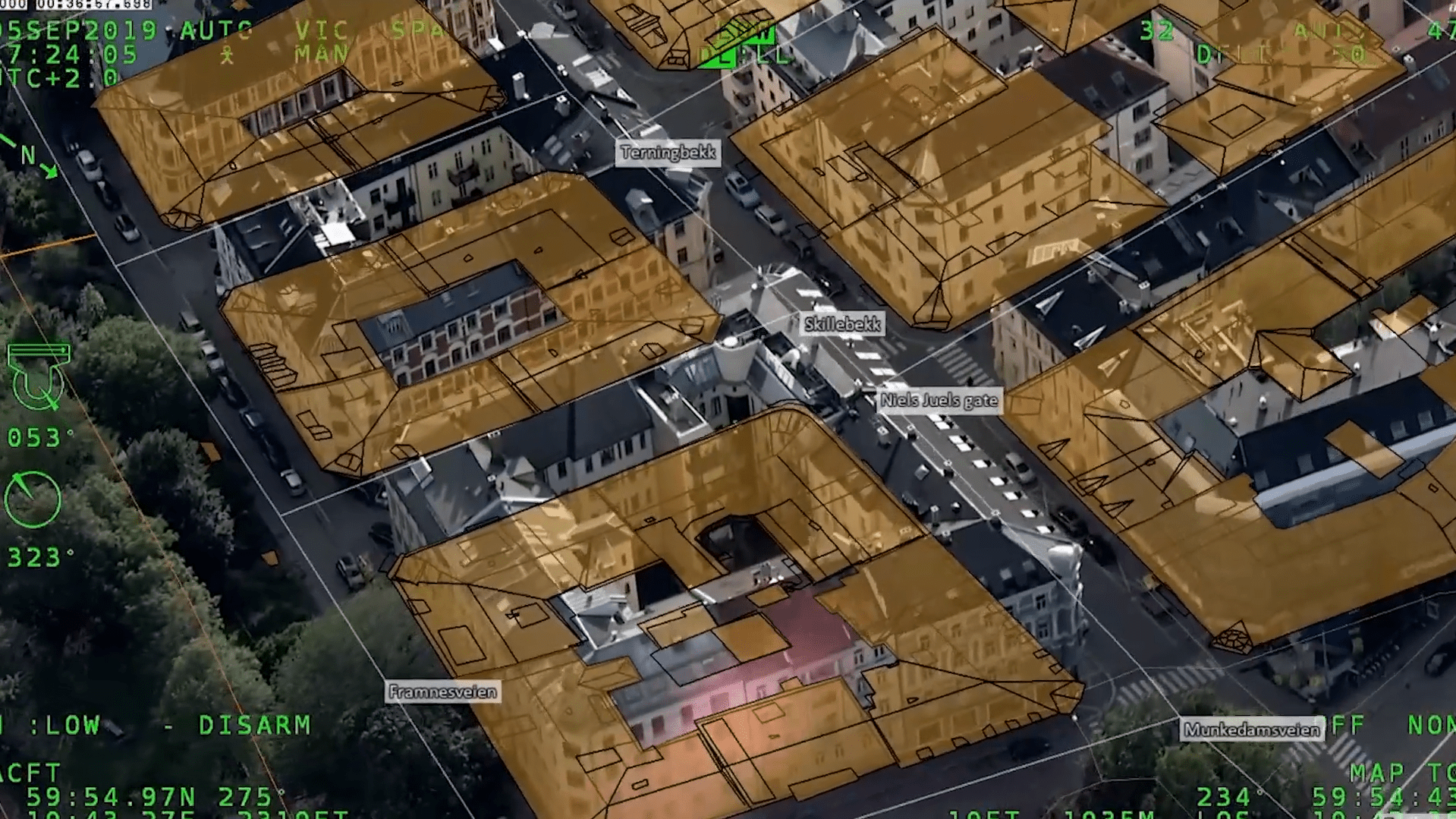
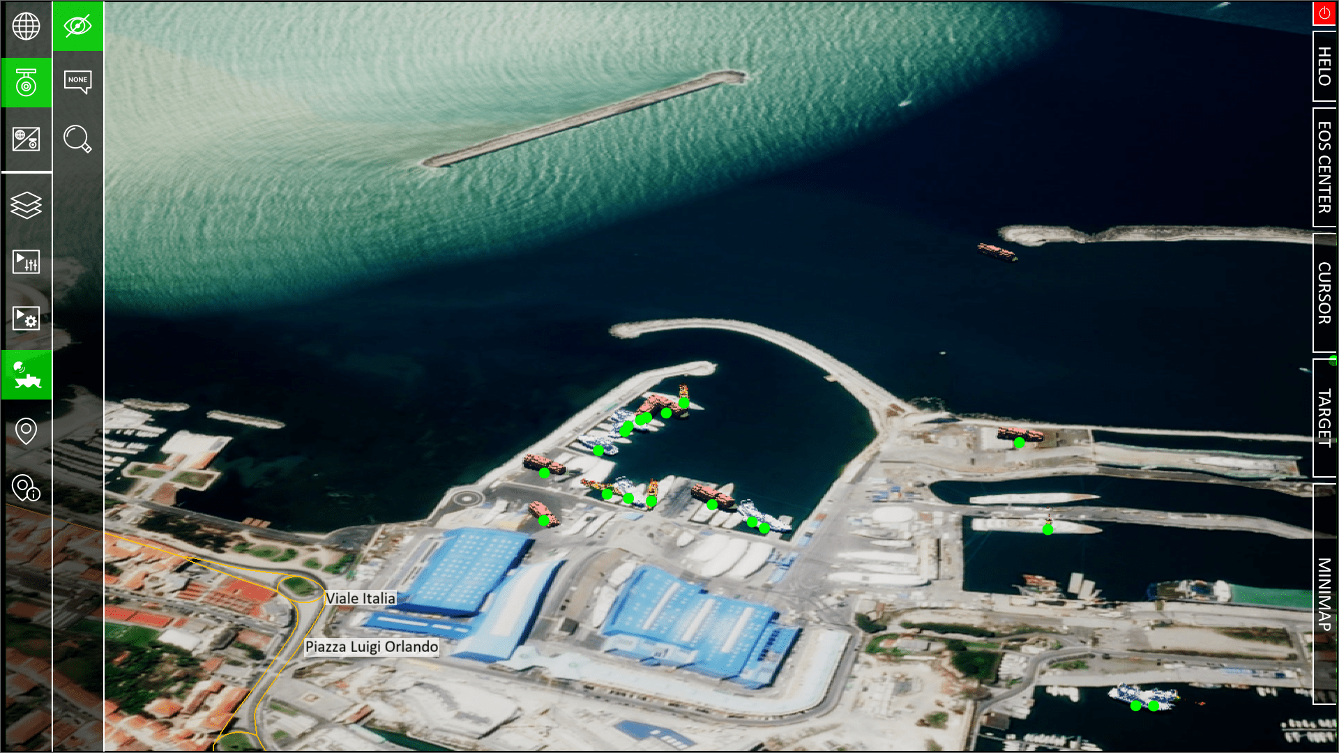
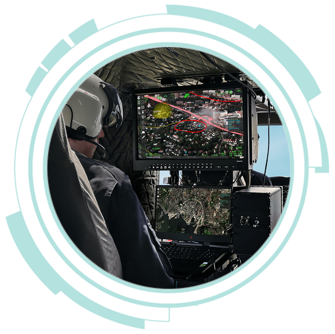
What makes AR particularly powerful is its ability to seamlessly blend this digital information with the real world. Whether displayed on a dedicated screen or through AR glasses, the system overlays critical data onto the user’s view of their surroundings. This could include everything from terrain features and weather patterns to the positions of friendly and potentially hostile entities.
The interactivity: Users aren’t passive observers of this augmented world; they can actively engage with it. The system allows operators to toggle different information layers on and off, adjusting the opacity of various elements to fine-tune their view. This means they can easily compare the augmented view with raw video feeds or focus on specific types of data as the situation demands.
The AR system continuously updates its augmented reality view based on incoming data and user inputs. This ensures that operators always have access to the most current and relevant information, enabling them to make informed decisions in rapidly changing environments.
By fusing complex data into an intuitive, visual format, AR transforms the way operators interact with their environment. It doesn’t just present information; it creates a new, enhanced reality that empowers users to understand and respond to their surroundings with unprecedented clarity and efficiency.
Importance in Avionics
- Enhanced Situational Awareness
Provides pilots with a comprehensive view of their environment, including terrain, weather patterns, and potential obstacles.
- Improved Navigation
Enhances night vision capabilities and assists in low-visibility conditions.
- Threat Detection
In military applications, it can highlight potential threats or targets that might be camouflaged in natural color images.
- Reduced Cognitive Load
Simplifies the interpretation of complex data, allowing pilots to focus on critical decision-making.
Applications in OPENSIGHT
The AR offers a wide range of applications:
- Catching Operations:
- Enhances visibility and coordination during interception missions.
- Provides real-time tracking and visualization of target movements.
- Crowded Area Surveillance:
- Offers a clear overview of large gatherings and critical events.
- Enables efficient monitoring and management of crowd dynamics.
- Infrastructure Monitoring:
- Facilitates the observation and management of buildings and utilities.
- Allows for quick identification of structural issues or potential hazards.
- Traffic Control:
- Presents a comprehensive view of traffic patterns and potential issues.
- Aids in optimizing traffic flow and responding to incidents quickly.
- Mission Planning and Execution:
- Supports strategic planning with 3D visualizations of operational areas.
- Enables real-time adjustments to mission parameters based on changing conditions.
- Training and Simulation:
- Provides immersive training scenarios for pilots and operators.
- Allows for the simulation of various environmental conditions and operational challenges.
By leveraging these applications, AR significantly enhances operational efficiency, safety, and decision-making capabilities across a wide range of mission-critical scenarios.
Key Image and Video Enhancement Tools
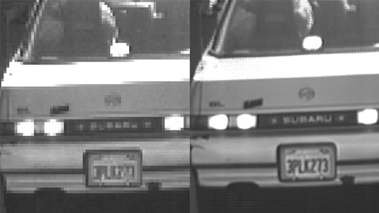
Super Resolution
Super Resolution is designed to enhance the resolution of target images by exploiting information from multiple frames in a video sequence.
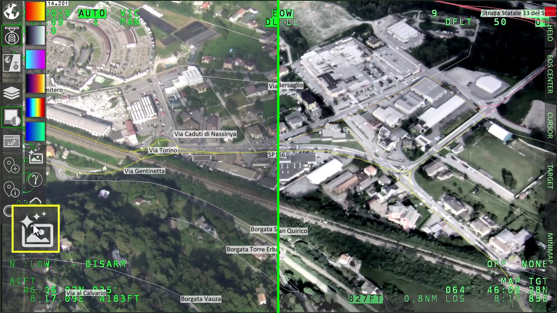
Histogram equalization
Histogram equalization is a technique used to adjust contrast levels and expand the intensity range in a digital image.
Infrared Enhancing
Infrared Enhancing significantly improves the visibility and interpretation of infrared imagery, providing operators with crucial visual information in challenging environments.

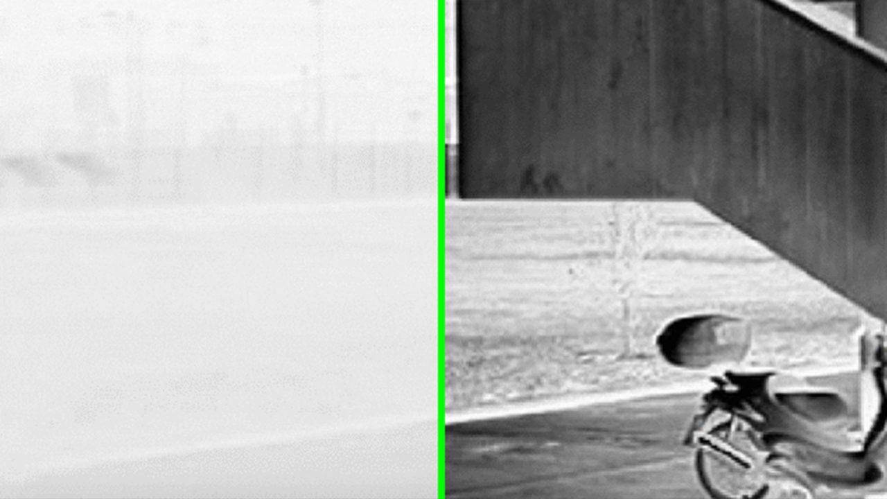
Fog Suppression
Fog Suppression is specifically developed to enhance visibility in foggy conditions.
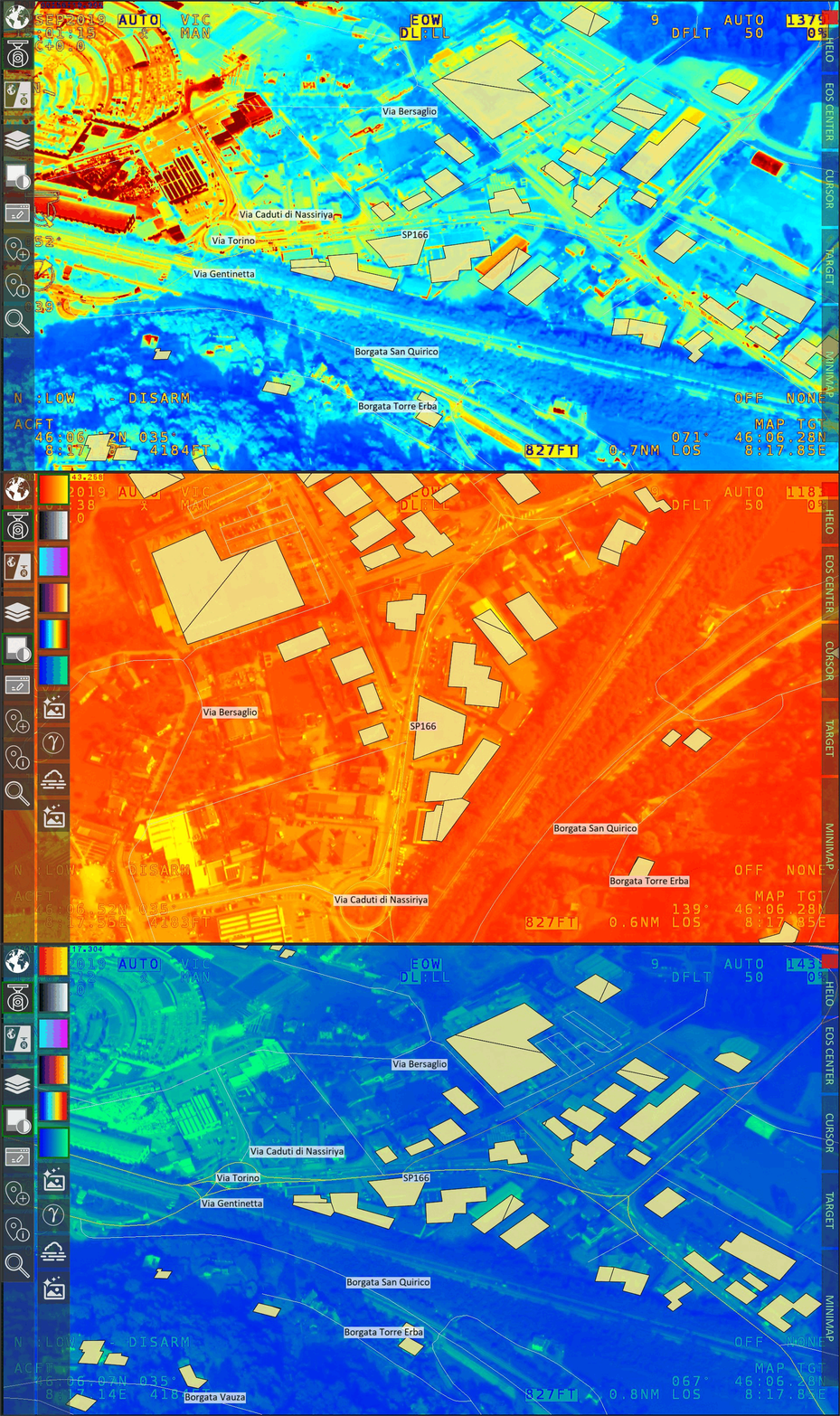
False Color
False color is a powerful feature that enhances the visibility of crucial details while preserving the specificity of sensor information.
Want to know more about OPENSIGHT?
Designed and developed to meet specific needs in any scenario, OPENSIGHT is a multi-platform PED (Processing, Exploitation and Dissemination) system created to provide the best support in decision making.
Contact us, our team is here to help!
